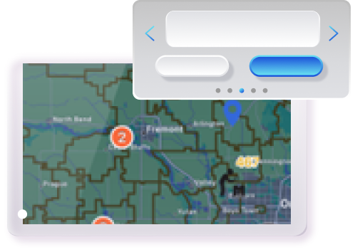
Revolutionize your utility operations with Smart Maps. This cutting-edge platform comes pre-integrated with ESRI/ArcGIS, delivering unparalleled insights through dynamic, role-based map visualizations. Now with SmartWX, empower your field crews with real-time access to service territories, assets, and work orders, all enriched with hybrid views, annotation, and redlining capabilities. Smart Maps not only enhances operational efficiency but also drives data-driven decisions with advanced analytics and reporting.
Intelligent Visual Overview
Provides comprehensive visual overview, pinpointing work order locations, technician positions, and asset details on an interactive map. Seamlessly switch between work orders, assets, and workforce crews with hybrid views, ensuring a holistic understanding of operations. Customizable map layers allow tailored views, while real-time map dashboards enhance visibility of crew locations, job statuses, and key performance indicators, driving informed decision-making and operational efficiency.
Enhanced Operational Efficiency and Control
Real-time traffic monitoring and route reporting optimize travel times and field operations. Territory management ensures precise work assignments. This advanced control system streamlines workflows, reduces downtime, and maximizes productivity, empowering field technicians to perform at their best while improving overall service delivery.
GIS Integration for Advanced Visualization
The comprehensive GIS viewer transforms visualization capabilities, providing detailed symbology, layers, and zoom levels for in-depth analysis. Smart Maps ensures seamless data integration, enabling utilities to enrich processes and achieve a unified, single-scale display for superior operational insight.
Smart Maps—Where Precision,Efficiency, and Excellence Converge
Elevate your utility operations with the Smart Maps platform- with advanced tracing, real-time data integration, and dynamic map visualizations for superior insights and efficiency.
Real-Time Operational Insights
Provides real-time access to service territories, assets, and work orders, empowering field crews with hybrid views, annotations, and redlining capabilities for superior operational control.
Enhanced Decision-Making
Customizable map layers, detailed symbology, and zoom-based styles offer tailored views, driving informed decision-making and operational efficiency.
Advanced GIS Integration
Seamlessly integrates with ESRI/ArcGIS for unparalleled visualization and tracing capabilities, enhancing your outage management and service delivery.
Optimized Field Operations
Smart scheduling and dispatching based on technician proximity, real-time traffic monitoring, and route reporting ensure efficient and timely field operations.
Proactive Planning
Utilize heatmaps and redlining tools for proactive planning, enabling better resource allocation and quicker response times during outages.
Seamless Data Integration
Pre-integrated with leading enterprise applications (AVL, EAM, CIS, WMS, OMS, CRM) for a unified, single-scale display, enriching processes and improving operational insight.
Powering Connected UtilityEcosystemwith Smart Maps
- Work Order Received and Visualized
A new work order is received, and the admin visualizes its location, associated assets, technician proximity, and upstream/downstream data on the Smart Maps Platform for informed assignment.
- Optimized Assignment
Admin assigns work order to nearest technician based on relevance and proximity. Platform suggests optimal route considering traffic.
- Field Worker Prep
Technician receives work order, views location on Smart Maps, and gets route and ETA.
- Real-Time Tracking
Tech-En-route, the technician's live location is tracked on Smart Maps, and any on-site annotations/updates are reflected in real-time for situational awareness.
- Completion and Reporting
Upon completion, the work order status is updated on Smart Maps, allowing the admin to analyze planned vs. actual routes, generate reports, and optimize future operations using historical data and insights.
Platform Benefits
- 50%Reduction in SLAs
- 48% - 52%Increase in Operational Efficiencies
- 80%Increase in First Time Fixes
- 100%Reduction in Paperwork and Manual Processes
Solutions for Your Industry

Electricity
Revolutionize electricity ops with Smart Maps' location intelligence. Unmatched grid asset visibility via immersive mapping. Optimize crew mobilization, enable swift outage response through real-time data. Powerful analytics for efficient monitoring and predictive asset management.
Gas
Elevate gas utility excellence with Smart Maps' advanced mapping. Visualize distribution network, optimize crew routes, swiftly respond to emergencies. Real-time data and analytics for safe, reliable gas delivery and risk mitigation.
Water
Streamline water utility operations with Smart Maps. Comprehensive network visibility for efficient leak detection and asset management. Leverage location intelligence to ensure uninterrupted services and exceptional customer experiences.
Telecom
Unlock telecom network potential with Smart Maps' location-based solutions. Holistic asset visibility, optimized technician deployment, accelerated service restoration. Visual analytics for enhanced network planning and service quality.
Frequently Asked Questions
.accordion-body, though the transition does limit overflow..accordion-body, though the transition does limit overflow..accordion-body, though the transition does limit overflow..accordion-body, though the transition does limit overflow..accordion-body, though the transition does limit overflow..accordion-body, though the transition does limit overflow..accordion-body, though the transition does limit overflow..accordion-body, though the transition does limit overflow..accordion-body, though the transition does limit overflow..accordion-body, though the transition does limit overflow.


